
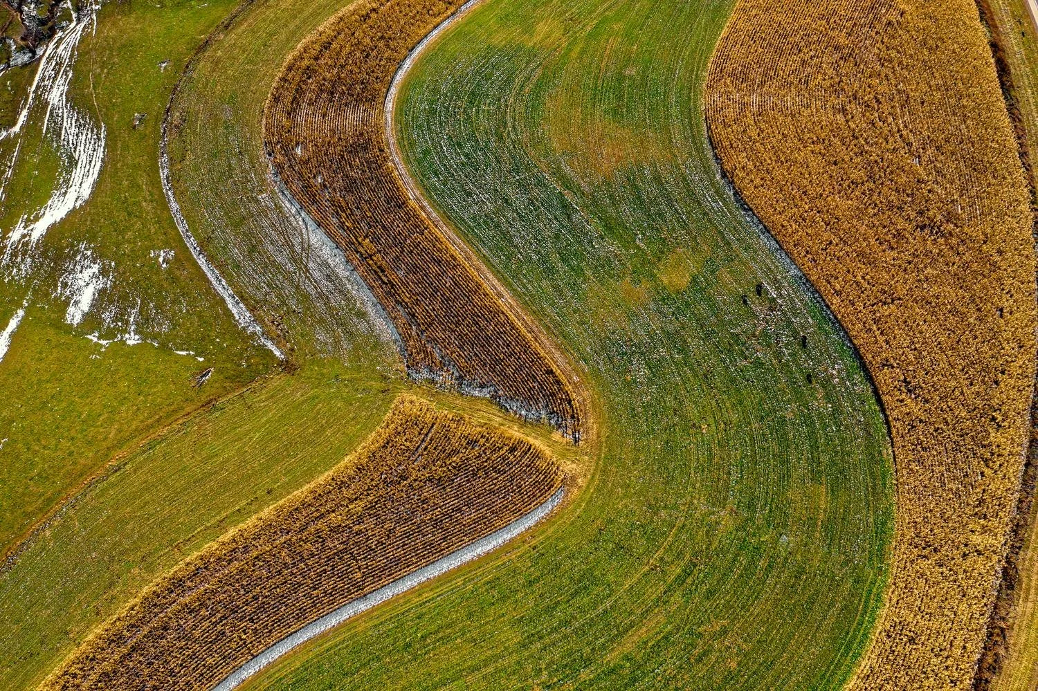
leaders in the development of accurate soil moisture maps from satellites
Creating high resolution soil moisture maps which save you time, labour and money.
Using the remote sensing tool which is based on satellite data and our ML algorithms, we provide digital maps of soil moisture
On a meter scale
Penetrate through vegetation, soil and other surface covers
High spatial and temporal resolutions.
Can be acquired in all weather conditions – rain, cloud, fogg.
Currently soil moisture is measured with a ground located network of sensors which can measure soil moisture in almost real time and very accurately.
However the disadvantages of this approach are:
Time
Cost
Labour
Sparsly distribute - Discrete locations only.
USE THE POWER OF REMOTE SENSING
Measuring soil moisture is crucial in applications of:
-

Agriculture →
Agriculture for resource management activities such as irrigation scheduling, prediction of crop droughts, modelling for crop yields.
-

Infrastructure →
In infrastructure – for discovering leakages under the surface and identifying areas of high soil moisture that may compromise structures.
-

Other sectors →
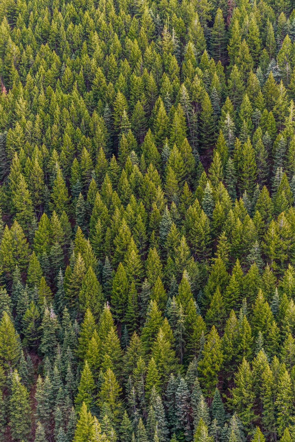
In other sectors – hydrology, forestry, climate change studies.
Unlock Free Soil Moisture Mapping for Your Field Data
Have field data from a soil moisture instrument? Send it to us, and we’ll create a custom soil moisture map using satellite imagery for your area (up to 2ha). Simply provide the location (Lat/Long), recording times, and moisture values—and we’ll deliver a bespoke map tailored to your needs, free of charge!